This website uses cookies so that we can provide you with the best user experience possible. Cookie information is stored in your browser and performs functions such as recognising you when you return to our website and helping our team to understand which sections of the website you find most interesting and useful.
Highlight Countries and Boundaries with Custom Colors
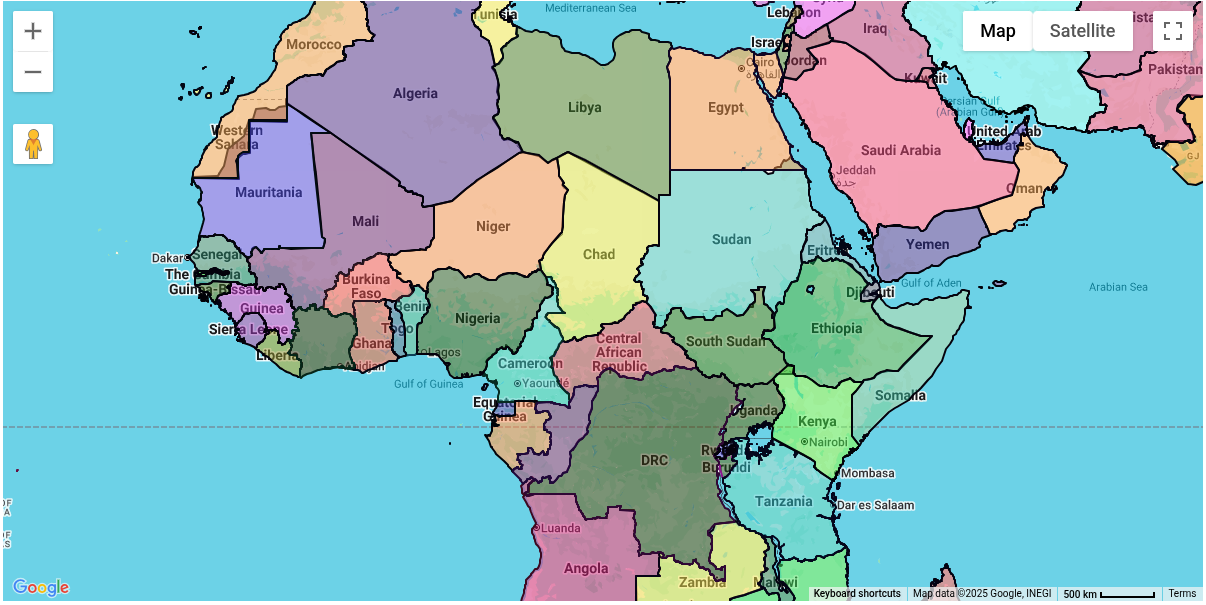
Visualize country boundaries with customizable colors.
Live Demo Get Started
Why use Country Boundaries On Map Plugin ?
Highlight Countries and Boundaries with Custom Colors
Highlight Countries
Listing Preview On Map
Different Fill & Stroke Colors
Visual Geographical Boundaries
Customisation Ready
Easy Backend Settings

Highlight Countries and Boundaries with Custom Colors
This plugin enables site administrators to highlight countries in different colors, providing a clear and visually appealing way to display their geographical boundaries. It offers full control over map styling, allowing you to customize fill colors, opacity levels, and border styles for each country.
With its easy-to-use backend interface, you can quickly create interactive and informative maps that enhance user engagement and visual presentation.

Fully Manageable Backend Settings
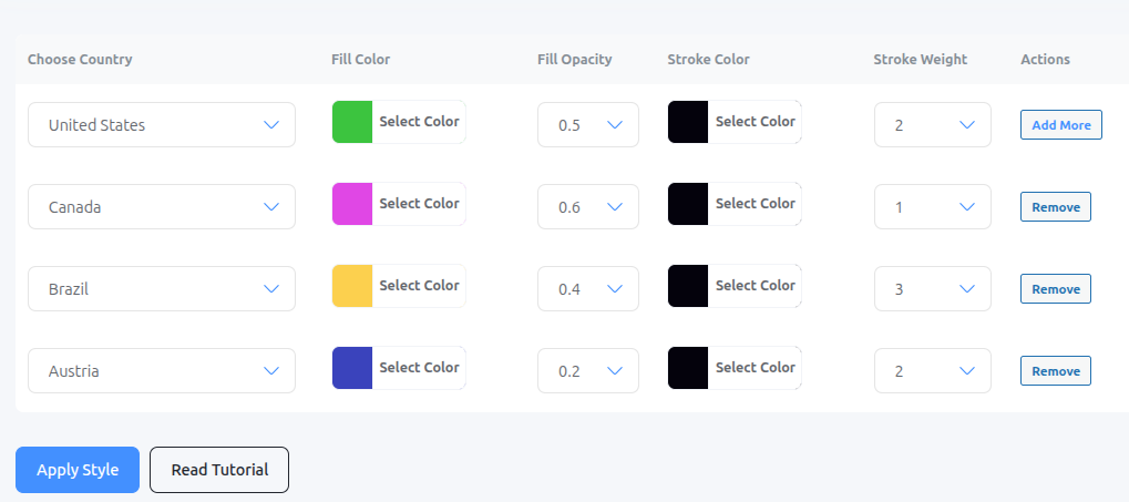
With this plugin, site administrators can easily assign different colors to countries directly from the backend. You can customize fill color, fill opacity, stroke color, stroke opacity, and more — making it simple to highlight countries on maps with precision and style.
As a site administrator, you just need to select a map created by the main plugin and then start applying custom formatting to countries using this add-on. The process is quick, intuitive, and gives you full control over how each country is displayed.

Easily Integrates With WP Maps Pro
Works Seamlessly with WP Maps Pro
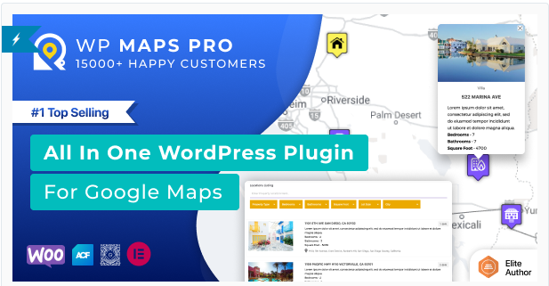
This add-on is made to work perfectly with WP Maps Pro, the top-rated Google Maps plugin trusted by 15,000+ users. It adds extra features to help you customize maps even more to fit your needs.
WP Maps Pro already lets you create interactive, feature-rich maps for your WordPress site. This add-on enhances them further with specialized functionality.

Customisation & Custom Development Available
This add-on includes all the essential features and can be tailored to your business needs. Built with WordPress hooks, it’s flexible, scalable, and integrates seamlessly with your site.
For extra features or custom changes, email us at info@flippercode.com, and our senior developers will get in touch to discuss your requirements.
Add Custom Colors to Countries and Borders on the Map
Discover the Top Features
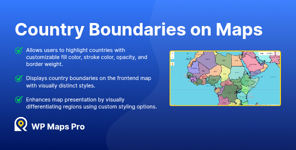
- Allows users to highlight countries with customizable fill color, stroke color, opacity, and border weight.
- Displays country boundaries on the frontend map with visually distinct styles.
- Enhances map presentation by visually differentiating regions using custom styling options.
Got A Query ?
If you have any query about this plugin's default functionality or possibilities of its customisation according to your custom needs or requirement of its integration with some other plugin, free feel to contact us.
Our team will respond as soon as possible.
See Why Users Love Our Plugins
Displays A Visually Appealing Map With Different Colors & Styles
We also have dedicated support team which will assist you in setting up the plugin according to your requirements.
Get Started for Free
